
Consultants
Land data behind your next feasibility or market report
When your recommendation carries a client’s investment or planning decision, the data behind it has to be current, granular and defensible. Terralytics gives advisory, research and planning teams lot-level supply, sales and pricing across every greenfield corridor, ready to analyse and put into client-facing work.
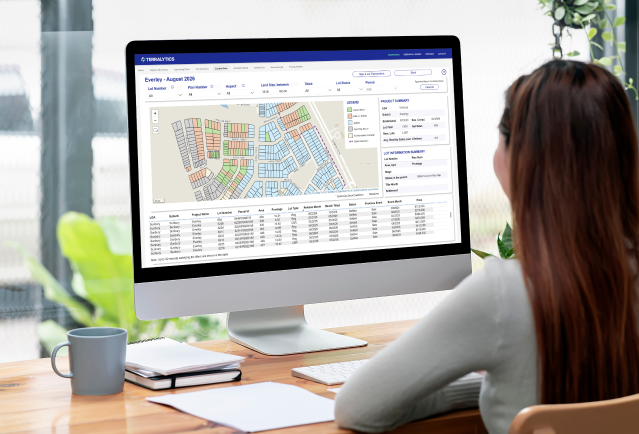
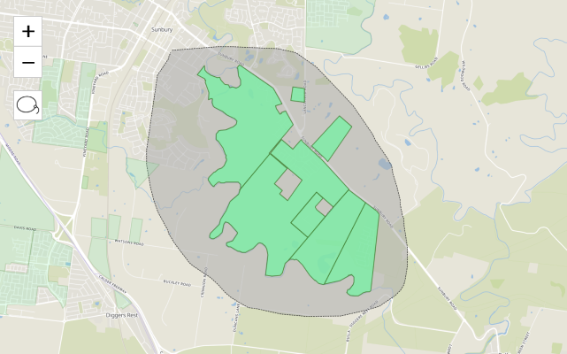
Custom area land analysis, exactly as you define it
Draw a circle or polygon on the map and return every lot inside it, or work from corridor and LGA down to a single estate. Filter by size, price, $/sqm, stage and timing, and compare across 10 years of history. It’s the fast, flexible way to scope an area for a feasibility or a market study.
Land data that works in your own reports and models
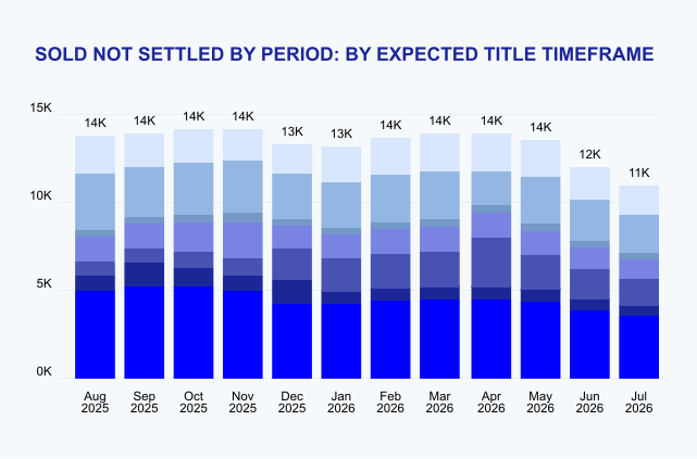
Bring lot-level detail, trends and $/sqm into your own reports, models and presentations, with sales and settlement data behind every figure. Back each recommendation with a current, consistent source instead of the dated inputs clients often supply. Export options vary by dataset, so we scope what you need with you. For research, feasibility, planning and advisory teams.
See Terralytics in action
Book a demo to see how Terralytics can enhance your decision making through accurate, timely land market intelligence.
Frequently Asked Questions
Terralytics brings together residential land supply and sales data to help support property development feasibility studies and market analysis.
Our data is sourced from a combination of our own field research, council and planning authority records, developer price lists and project information submitted through our data partnership program, and Valuer General settlement data.
Every lot is tracked individually from release through sales, construction, titling and settlement, giving you a continuous, lot-level view of what has sold, at what price and $/sqm, how long it took, and what is still available or coming to market.
By combining these data points, you can assess comparable land sales, available supply, sales rates and market activity when preparing a feasibility study. This can help developers and land professionals make more informed assumptions around pricing, demand, project timing and potential development outcomes.
Terralytics provides a consolidated view of the residential land market, making it easier to access the data needed to support development feasibility and investment analysis.
Terralytics provides detailed residential land sales data that can be used to support your own analysis, reports and feasibility models.
You can use lot-level sales information, land prices, settlement data and market activity to assess comparable sales, benchmark pricing and build a clearer picture of residential land market conditions.
Data access and export options may vary depending on your subscription and data requirements. If you need to incorporate Terralytics data into an existing feasibility model, risk model or reporting process, our team can discuss the available options for your requirements.
Terralytics provides more than 10 years of historical residential land sales data, giving you a long-term view of greenfield market activity across covered areas.
You can use historical land sales data to analyse changes in land prices, sales volumes, buyer demand and market activity over time. This allows you to compare current conditions with previous market cycles and better understand how a growth corridor or residential land market has changed.
Having access to historical lot-level data can also support development feasibility studies, market research, land valuation and forecasting by providing a longer-term evidence base for your analysis.