
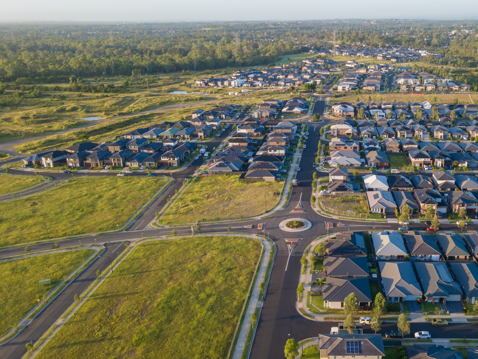
A clearer view of development activity across Australia’s Greenfield growth corridors, project by project
Terralytics has mapped more than 3,900 residential projects across its platform, giving users a clearer view of development activity across Australia’s greenfield residential market.
Each mapped project brings together detailed data across the land development lifecycle, from early release timing through to sales, construction and settlement, supporting more informed decisions at every stage.
A Platform Built Around Projects
As a land development data platform, Terralytics brings together project-level detail with broader market trends, helping developers, planners and government agencies understand not just individual estates, but how they contribute to growth across a corridor or region.
This project-level view supports more accurate growth modelling, helping users understand where new communities are emerging and how quickly they are developing.
Connecting Projects to Community Growth
Mapping projects at this scale also supports better community growth data for infrastructure, giving councils and infrastructure providers greater visibility of where and when new residential communities are taking shape.
By bringing together lot-level data within each mapped project, Terralytics provides development decision-making data that spans from individual lots through to entire estates and growth corridors.
Growing Alongside the Market
As Terralytics continues to map new projects across these regions, users can expect an increasingly complete picture of growth corridor modelling across Australia’s fastest-developing communities.